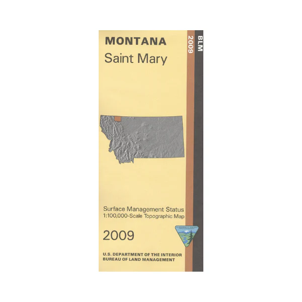
Map: Saint Mary MT - MT1167S
East half of the map shows Blackfeet Indian Reservation, and the west half shows Glacier National Park. Numerous backcountry campsites are marked north and south of the Going To The Sun Road. Scenic driving, campground camping, hiking, horseback riding, and boating available in the national park. Official Bureau of Land Management metric topographic map @1:100,000 scale (roughly 3/4"`1 mile), color-coded to show surface
management, i.e. agency vs. private or tribal ownership.
Map shows color coded public and private ownership, roads, water features, recreation sites, points of interest, and the township and range lines. 2009
More Images
Map: Saint Mary MT - MT1167S
East half of the map shows Blackfeet Indian Reservation, and the west half shows Glacier National Park. Numerous backcountry campsites are marked north and south of the Going To The Sun Road. Scenic driving, campground camping, hiking, horseback riding, and boating available in the national park. Official Bureau of Land Management metric topographic map @1:100,000 scale (roughly 3/4"`1 mile), color-coded to show surface
management, i.e. agency vs. private or tribal ownership.
Map shows color coded public and private ownership, roads, water features, recreation sites, points of interest, and the township and range lines. 2009
Product Information
Product Information
Shipping & Returns
Shipping & Returns
Description
East half of the map shows Blackfeet Indian Reservation, and the west half shows Glacier National Park. Numerous backcountry campsites are marked north and south of the Going To The Sun Road. Scenic driving, campground camping, hiking, horseback riding, and boating available in the national park. Official Bureau of Land Management metric topographic map @1:100,000 scale (roughly 3/4"`1 mile), color-coded to show surface
management, i.e. agency vs. private or tribal ownership.
Map shows color coded public and private ownership, roads, water features, recreation sites, points of interest, and the township and range lines. 2009


