Map: Salem OR Eastside
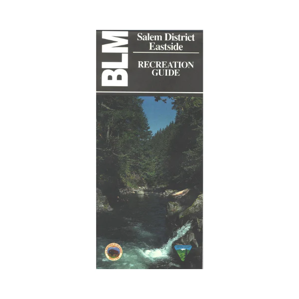
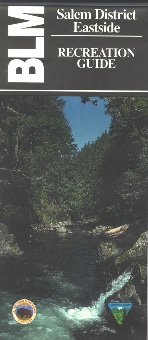
From Portland travel east along the Columbia River to Mt. Hood National Forest, Columbia Gorge National Recreation Area, or to Columbia Wilderness. Take Hwy 26 southeast into the forest to explore the forest roads, access the Salmon Huckleberry Wilderness trails, or camp at Timothy Lake. From Salem travel east on Hwy 22 to explore BLM's Elkhorn Valley, or Mt. Hood and Willamette National Forests. Camp, fish, and boat at Detroit Lake. map also shows Silver Falls State Park east of Salem with beautiful waterfalls. In addition to roads, water features, recreation sites, points of interest, township and range lines, and color-coded surface management ownership, this map highlights recreational opportunities such as camping, picnicking, fishing, hiking, and scenic viewing at overlooks. Scale is 1/2 inch = 1 mile. Map is useful for OR Hunting Units 15 and 16. 1994
More Images
Map: Salem OR Eastside
From Portland travel east along the Columbia River to Mt. Hood National Forest, Columbia Gorge National Recreation Area, or to Columbia Wilderness. Take Hwy 26 southeast into the forest to explore the forest roads, access the Salmon Huckleberry Wilderness trails, or camp at Timothy Lake. From Salem travel east on Hwy 22 to explore BLM's Elkhorn Valley, or Mt. Hood and Willamette National Forests. Camp, fish, and boat at Detroit Lake. map also shows Silver Falls State Park east of Salem with beautiful waterfalls. In addition to roads, water features, recreation sites, points of interest, township and range lines, and color-coded surface management ownership, this map highlights recreational opportunities such as camping, picnicking, fishing, hiking, and scenic viewing at overlooks. Scale is 1/2 inch = 1 mile. Map is useful for OR Hunting Units 15 and 16. 1994
Product Information
Product Information
Shipping & Returns
Shipping & Returns
Description
From Portland travel east along the Columbia River to Mt. Hood National Forest, Columbia Gorge National Recreation Area, or to Columbia Wilderness. Take Hwy 26 southeast into the forest to explore the forest roads, access the Salmon Huckleberry Wilderness trails, or camp at Timothy Lake. From Salem travel east on Hwy 22 to explore BLM's Elkhorn Valley, or Mt. Hood and Willamette National Forests. Camp, fish, and boat at Detroit Lake. map also shows Silver Falls State Park east of Salem with beautiful waterfalls. In addition to roads, water features, recreation sites, points of interest, township and range lines, and color-coded surface management ownership, this map highlights recreational opportunities such as camping, picnicking, fishing, hiking, and scenic viewing at overlooks. Scale is 1/2 inch = 1 mile. Map is useful for OR Hunting Units 15 and 16. 1994


