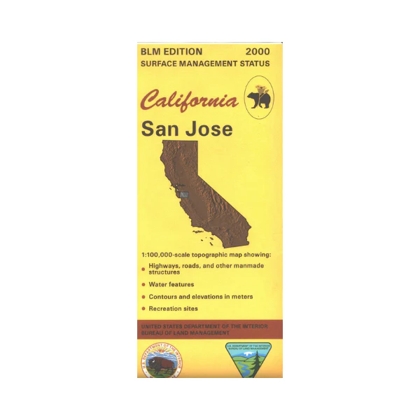
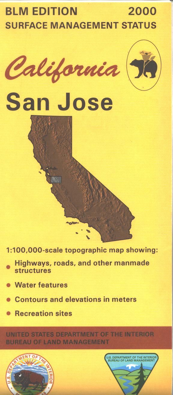
Map: San Jose CA - CA435S
Map shows lands east and south of San Jose; includes Henry W Coe State Park, San Luis Reservoir, and several other public parks nearer San Jose. Various recreational activities are found at the parks, with camping and hiking at Henry W Coe SP, and camping, boating, and fishing at the reservoir. Official Bureau of Land Management metric topographic map @1:100,000 scale (roughly 3/4"=1 mile), color-coded to show surface management, i.e. agency vs. private or tribal ownership. Map shows roads, water features, recreation sites, points of interest, and the township and range lines. Maps show trails and developed recreation areas such as campgrounds. Use this map for Deer Hunting in Unit A South 110 and for Elk Hunting in Santa Clara Zone. 2000
More Images
Map: San Jose CA - CA435S
Map shows lands east and south of San Jose; includes Henry W Coe State Park, San Luis Reservoir, and several other public parks nearer San Jose. Various recreational activities are found at the parks, with camping and hiking at Henry W Coe SP, and camping, boating, and fishing at the reservoir. Official Bureau of Land Management metric topographic map @1:100,000 scale (roughly 3/4"=1 mile), color-coded to show surface management, i.e. agency vs. private or tribal ownership. Map shows roads, water features, recreation sites, points of interest, and the township and range lines. Maps show trails and developed recreation areas such as campgrounds. Use this map for Deer Hunting in Unit A South 110 and for Elk Hunting in Santa Clara Zone. 2000
Product Information
Product Information
Shipping & Returns
Shipping & Returns
Description
Map shows lands east and south of San Jose; includes Henry W Coe State Park, San Luis Reservoir, and several other public parks nearer San Jose. Various recreational activities are found at the parks, with camping and hiking at Henry W Coe SP, and camping, boating, and fishing at the reservoir. Official Bureau of Land Management metric topographic map @1:100,000 scale (roughly 3/4"=1 mile), color-coded to show surface management, i.e. agency vs. private or tribal ownership. Map shows roads, water features, recreation sites, points of interest, and the township and range lines. Maps show trails and developed recreation areas such as campgrounds. Use this map for Deer Hunting in Unit A South 110 and for Elk Hunting in Santa Clara Zone. 2000


