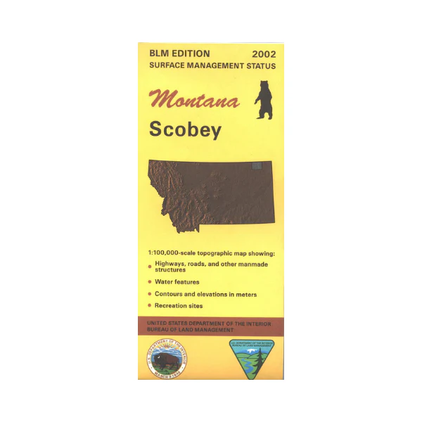
Map: Scobey MT - MT1171S
Map shows numerous sections of state lands west of Scobey, and part of the Fort Peck Indian Reservation south of Scobey. Official Bureau of Land Management metric topographic map
@1:100,000 scale (roughly 3/4"`1 mile), color-coded to show surface
management, i.e. agency vs. private or tribal ownership. Map shows color coded public and private ownership, roads, water features, points of interest, and the township and range lines. Use this map for hunting Deer, Elk, and Mountain Lion in Unit 640. 2002
Original: $8.99
-65%$8.99
$3.15More Images
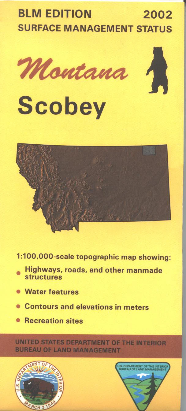
Map: Scobey MT - MT1171S
Map shows numerous sections of state lands west of Scobey, and part of the Fort Peck Indian Reservation south of Scobey. Official Bureau of Land Management metric topographic map
@1:100,000 scale (roughly 3/4"`1 mile), color-coded to show surface
management, i.e. agency vs. private or tribal ownership. Map shows color coded public and private ownership, roads, water features, points of interest, and the township and range lines. Use this map for hunting Deer, Elk, and Mountain Lion in Unit 640. 2002
Product Information
Product Information
Shipping & Returns
Shipping & Returns
Description
Map shows numerous sections of state lands west of Scobey, and part of the Fort Peck Indian Reservation south of Scobey. Official Bureau of Land Management metric topographic map
@1:100,000 scale (roughly 3/4"`1 mile), color-coded to show surface
management, i.e. agency vs. private or tribal ownership. Map shows color coded public and private ownership, roads, water features, points of interest, and the township and range lines. Use this map for hunting Deer, Elk, and Mountain Lion in Unit 640. 2002


