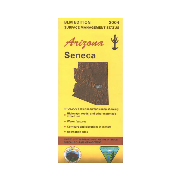
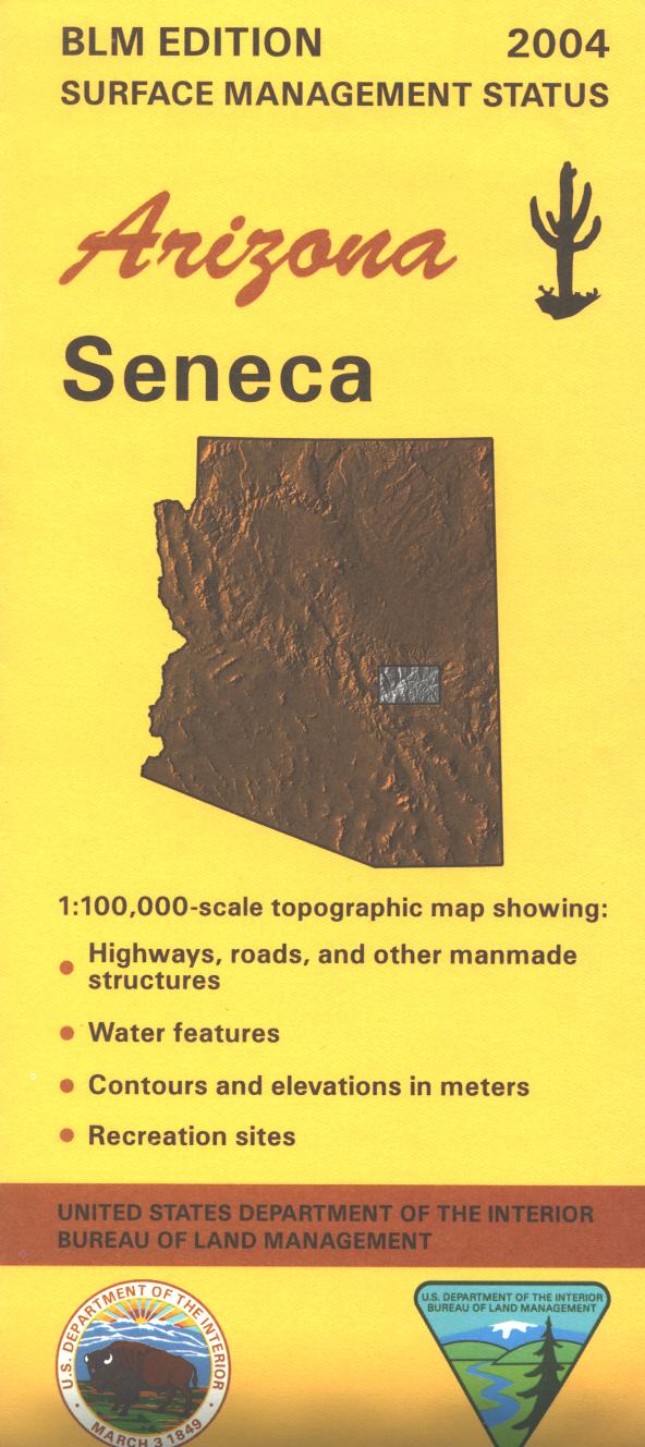
Map: Seneca AZ - AZ145S
BLM map shows roads, campgrounds, and topographic detail. Differentiates between public and private land, and also among the various agencies who manage the public lands. Shows Tonto National Forest with Sierra Ancha and Salt River Canyon Wildernesses. Scenic driving on From the Desert to the Tall Pines National Scenic Byway(Hwy 288) through the national forest. Try camping, hiking, horseback riding, and OHV riding. Map is useful for AZ Hunting Units 23, 24A, 24B, 25M and 26M. Scale 1:100,000. 2004
Original: $8.99
-65%$8.99
$3.15More Images
Map: Seneca AZ - AZ145S
BLM map shows roads, campgrounds, and topographic detail. Differentiates between public and private land, and also among the various agencies who manage the public lands. Shows Tonto National Forest with Sierra Ancha and Salt River Canyon Wildernesses. Scenic driving on From the Desert to the Tall Pines National Scenic Byway(Hwy 288) through the national forest. Try camping, hiking, horseback riding, and OHV riding. Map is useful for AZ Hunting Units 23, 24A, 24B, 25M and 26M. Scale 1:100,000. 2004
Product Information
Product Information
Shipping & Returns
Shipping & Returns
Description
BLM map shows roads, campgrounds, and topographic detail. Differentiates between public and private land, and also among the various agencies who manage the public lands. Shows Tonto National Forest with Sierra Ancha and Salt River Canyon Wildernesses. Scenic driving on From the Desert to the Tall Pines National Scenic Byway(Hwy 288) through the national forest. Try camping, hiking, horseback riding, and OHV riding. Map is useful for AZ Hunting Units 23, 24A, 24B, 25M and 26M. Scale 1:100,000. 2004