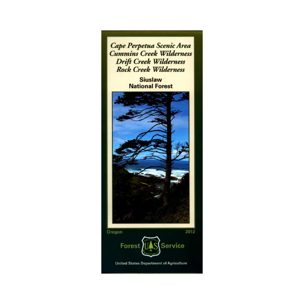
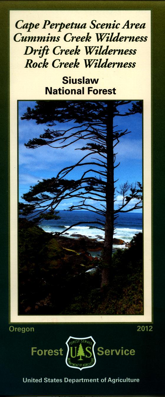
Map: Siuslaw National Forest OR
This map covers the Cape Perpetua Scenic Area, Cummins Creek wilderness, Drift Creek wilderness and Rock Creek wilderness. It shows topographic information, camping and recreation areas, corrals, and other Forest Service facilities. Forest roads and trails are clearly marked. Scale is 1/2" = 1 mile, 2012
More Images
Map: Siuslaw National Forest OR
This map covers the Cape Perpetua Scenic Area, Cummins Creek wilderness, Drift Creek wilderness and Rock Creek wilderness. It shows topographic information, camping and recreation areas, corrals, and other Forest Service facilities. Forest roads and trails are clearly marked. Scale is 1/2" = 1 mile, 2012
Product Information
Product Information
Shipping & Returns
Shipping & Returns
Description
This map covers the Cape Perpetua Scenic Area, Cummins Creek wilderness, Drift Creek wilderness and Rock Creek wilderness. It shows topographic information, camping and recreation areas, corrals, and other Forest Service facilities. Forest roads and trails are clearly marked. Scale is 1/2" = 1 mile, 2012