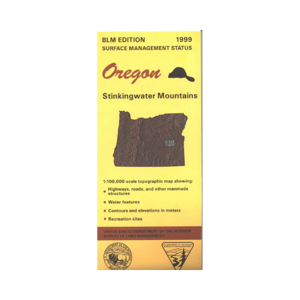
Map: Stinkingwater Mountains OR - OR055S
Map shows expansive BLM lands from east of Burns Airport to a few miles east of Juntura. Explore the BLM lands including Beulah Reservoir, and Warm Springs Reservoir and Stinkingwater Mountains with several wild horse viewing areas. From Buchanan travel northwest to explore a section of Malheur National Forest. Official Bureau of Land Management metric topographic map @1:100,000 scale (roughly 3/4"`1 mile), color-coded to show surface
management, i.e. agency vs. private or tribal ownership. This map shows roads, water features, recreation sites, points of interest, and the township and range lines. Map is useful for OR Hunting Units 65 and 66. 1999
More Images
Map: Stinkingwater Mountains OR - OR055S
Map shows expansive BLM lands from east of Burns Airport to a few miles east of Juntura. Explore the BLM lands including Beulah Reservoir, and Warm Springs Reservoir and Stinkingwater Mountains with several wild horse viewing areas. From Buchanan travel northwest to explore a section of Malheur National Forest. Official Bureau of Land Management metric topographic map @1:100,000 scale (roughly 3/4"`1 mile), color-coded to show surface
management, i.e. agency vs. private or tribal ownership. This map shows roads, water features, recreation sites, points of interest, and the township and range lines. Map is useful for OR Hunting Units 65 and 66. 1999
Product Information
Product Information
Shipping & Returns
Shipping & Returns
Description
Map shows expansive BLM lands from east of Burns Airport to a few miles east of Juntura. Explore the BLM lands including Beulah Reservoir, and Warm Springs Reservoir and Stinkingwater Mountains with several wild horse viewing areas. From Buchanan travel northwest to explore a section of Malheur National Forest. Official Bureau of Land Management metric topographic map @1:100,000 scale (roughly 3/4"`1 mile), color-coded to show surface
management, i.e. agency vs. private or tribal ownership. This map shows roads, water features, recreation sites, points of interest, and the township and range lines. Map is useful for OR Hunting Units 65 and 66. 1999


