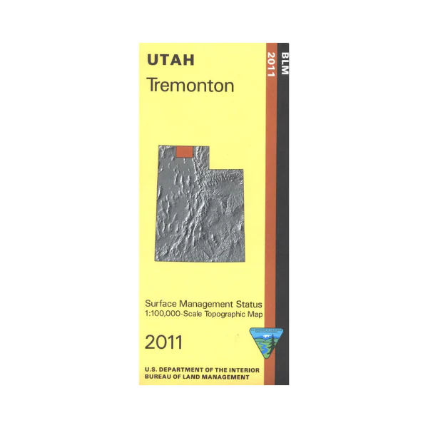
Map: Tremonton UT - UT140S
Travel west of Brigham City to visit Golden Spike National Historic Site, or the Bear River National Migratory Bird Refuge. The refuge has boating, fishing, hiking,and wildlife viewing. Official Bureau of Land Management metric topographic map @1:100,000 scale (roughly 3/4"`1 mile), color-coded to show Surface Management/ownership i.e. agency vs. private or tribal. Map shows roads, water features, recreation sites, points of interest, and township and range lines. Use this map to hunt in the Box Elder and Cache units. 2011
Original: $8.99
-65%$8.99
$3.15More Images
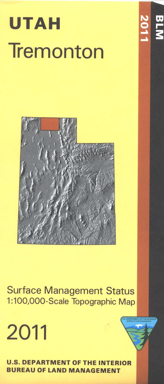
Map: Tremonton UT - UT140S
Travel west of Brigham City to visit Golden Spike National Historic Site, or the Bear River National Migratory Bird Refuge. The refuge has boating, fishing, hiking,and wildlife viewing. Official Bureau of Land Management metric topographic map @1:100,000 scale (roughly 3/4"`1 mile), color-coded to show Surface Management/ownership i.e. agency vs. private or tribal. Map shows roads, water features, recreation sites, points of interest, and township and range lines. Use this map to hunt in the Box Elder and Cache units. 2011
Product Information
Product Information
Shipping & Returns
Shipping & Returns
Description
Travel west of Brigham City to visit Golden Spike National Historic Site, or the Bear River National Migratory Bird Refuge. The refuge has boating, fishing, hiking,and wildlife viewing. Official Bureau of Land Management metric topographic map @1:100,000 scale (roughly 3/4"`1 mile), color-coded to show Surface Management/ownership i.e. agency vs. private or tribal. Map shows roads, water features, recreation sites, points of interest, and township and range lines. Use this map to hunt in the Box Elder and Cache units. 2011


