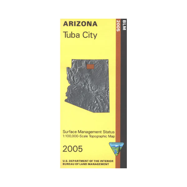
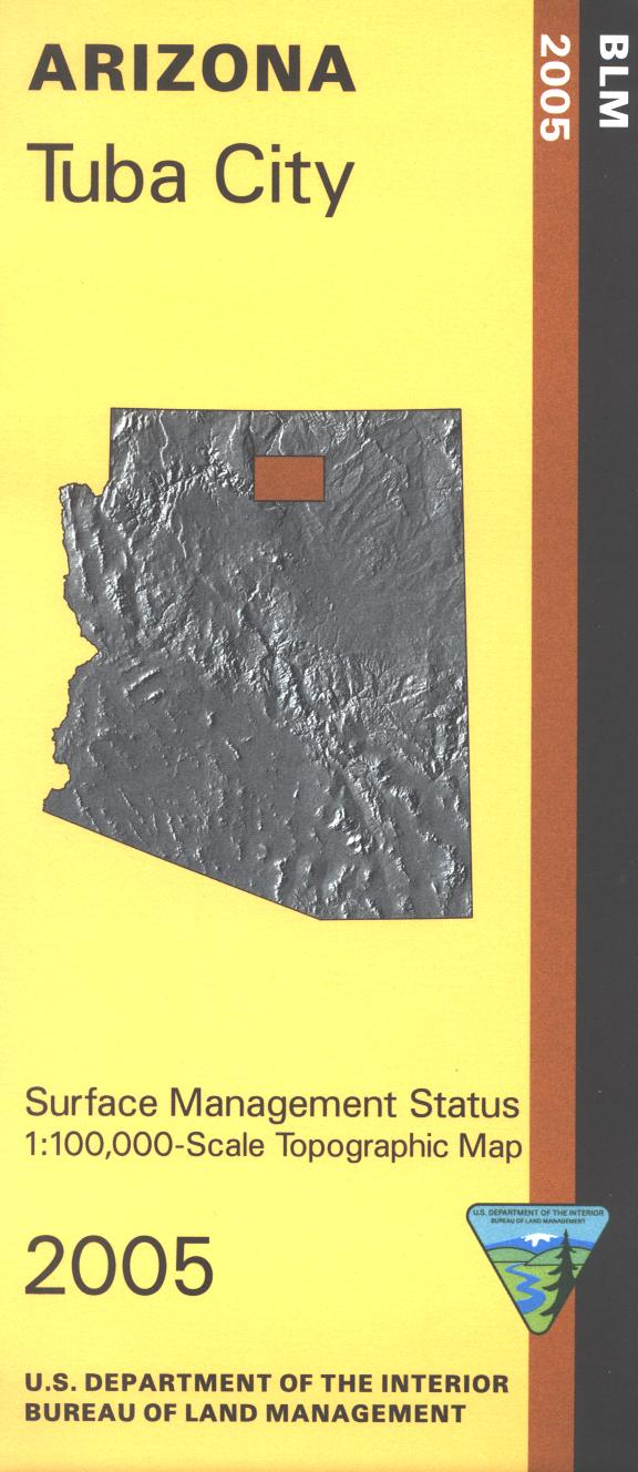
Map: Tuba City AZ - AZ153S
Differentiates between public and private land, and also among the various agencies who manage the public lands. Map shows mostly Navajo Indian Reservation land, plus an eastern part of the Grand Canyon National Park with the Colorado River. Scale 1:100,000. 2005
More Images
Map: Tuba City AZ - AZ153S
Differentiates between public and private land, and also among the various agencies who manage the public lands. Map shows mostly Navajo Indian Reservation land, plus an eastern part of the Grand Canyon National Park with the Colorado River. Scale 1:100,000. 2005
Product Information
Product Information
Shipping & Returns
Shipping & Returns
Description
Differentiates between public and private land, and also among the various agencies who manage the public lands. Map shows mostly Navajo Indian Reservation land, plus an eastern part of the Grand Canyon National Park with the Colorado River. Scale 1:100,000. 2005