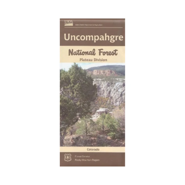
Map: Uncompahgre National Forest CO Plateau Division
Official Forest Service map @1/2"=1 mile scale(no topographic detail) shows all lands, roads, trails, campgrounds and other recreation sites in the Plateau Division from west of Delta south to Ridgeway and west to Placerville. Covers the Unaweep / Tabeguache Scenic Byway and is perfect for scenic driving, camping, hiking, OHV use and hunting. Travel Forest Road 402 to Tabeguache Overlook and Columbine Pass, then continue on the road west and north until it connects with Hwy 141.
Map also includes much of the BLM's Dominguez-Escalante National Conservation Area. The map includes information about motorized off-road travel (ATVs, motorcycles, etc.) On water/tear-proof synthetic paper, 2016.
More Images
Map: Uncompahgre National Forest CO Plateau Division
Official Forest Service map @1/2"=1 mile scale(no topographic detail) shows all lands, roads, trails, campgrounds and other recreation sites in the Plateau Division from west of Delta south to Ridgeway and west to Placerville. Covers the Unaweep / Tabeguache Scenic Byway and is perfect for scenic driving, camping, hiking, OHV use and hunting. Travel Forest Road 402 to Tabeguache Overlook and Columbine Pass, then continue on the road west and north until it connects with Hwy 141.
Map also includes much of the BLM's Dominguez-Escalante National Conservation Area. The map includes information about motorized off-road travel (ATVs, motorcycles, etc.) On water/tear-proof synthetic paper, 2016.
Product Information
Product Information
Shipping & Returns
Shipping & Returns
Description
Official Forest Service map @1/2"=1 mile scale(no topographic detail) shows all lands, roads, trails, campgrounds and other recreation sites in the Plateau Division from west of Delta south to Ridgeway and west to Placerville. Covers the Unaweep / Tabeguache Scenic Byway and is perfect for scenic driving, camping, hiking, OHV use and hunting. Travel Forest Road 402 to Tabeguache Overlook and Columbine Pass, then continue on the road west and north until it connects with Hwy 141.
Map also includes much of the BLM's Dominguez-Escalante National Conservation Area. The map includes information about motorized off-road travel (ATVs, motorcycles, etc.) On water/tear-proof synthetic paper, 2016.


