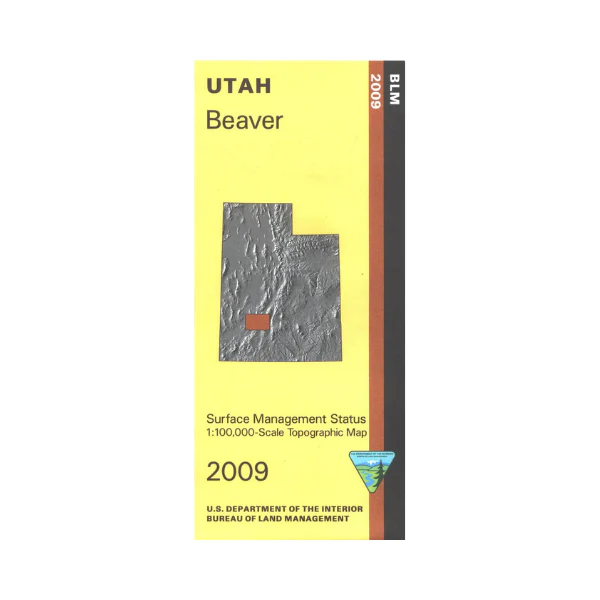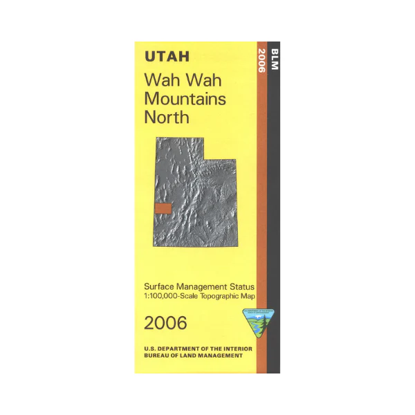
Map: Wah Wah North UT - UT143S
Map covers mostly BLM lands from the Nevada border east to Cricket Mountains. Besides the Wah Wah Mountains map includes part of the Confusion Range, the Burbank Hills, and the House Range. Also includes the Rocky Mountain Research Station. Explore the BLM lands in this remote scenic area north of UT Road 21. Official Bureau of Land Management metric topographic map @1:100,000 scale (roughly 3/4"`1 mile), color-coded to show Surface Management/ownership i.e. agency vs. private or tribal. Map shows roads, water features, points of interest, and township and range lines. Use this map for hunting in the Soutwest Desert unit. 2006
Original: $8.99
-65%$8.99
$3.15More Images
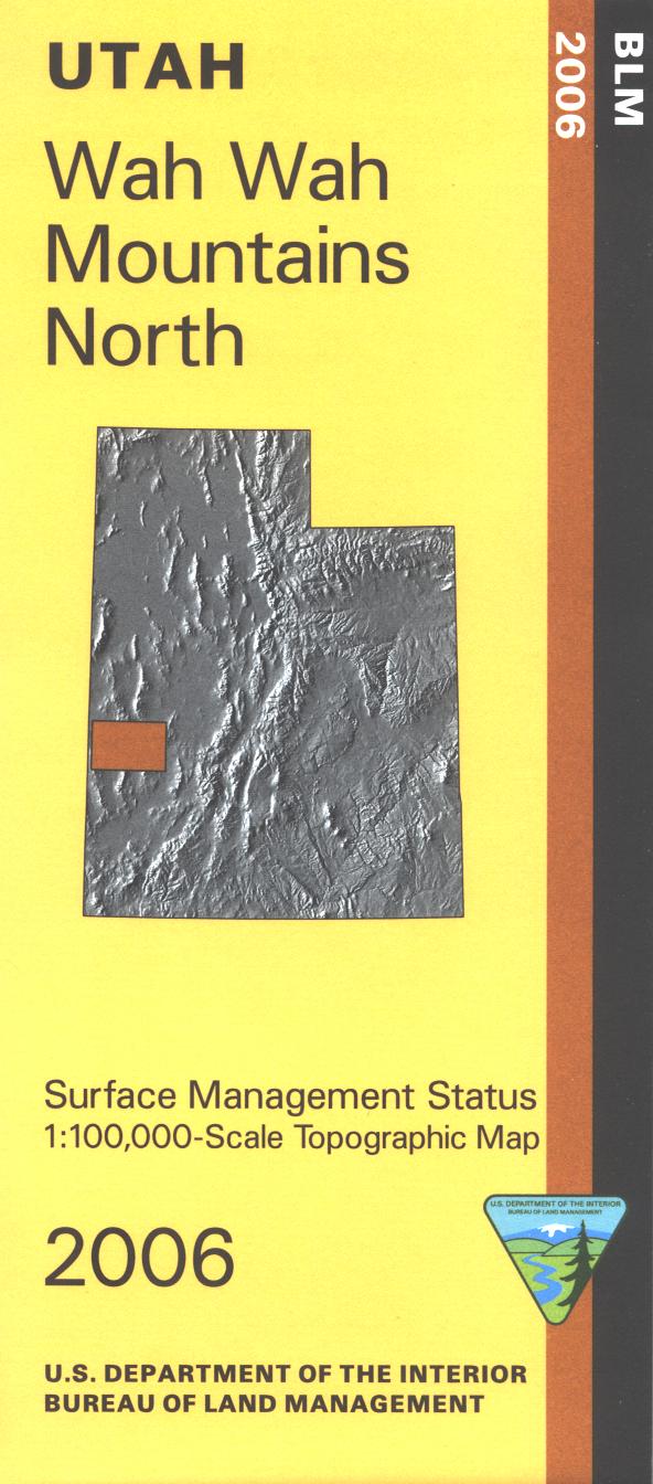
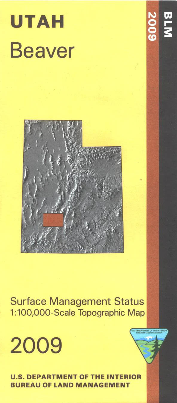
Map: Wah Wah North UT - UT143S
Map covers mostly BLM lands from the Nevada border east to Cricket Mountains. Besides the Wah Wah Mountains map includes part of the Confusion Range, the Burbank Hills, and the House Range. Also includes the Rocky Mountain Research Station. Explore the BLM lands in this remote scenic area north of UT Road 21. Official Bureau of Land Management metric topographic map @1:100,000 scale (roughly 3/4"`1 mile), color-coded to show Surface Management/ownership i.e. agency vs. private or tribal. Map shows roads, water features, points of interest, and township and range lines. Use this map for hunting in the Soutwest Desert unit. 2006
Product Information
Product Information
Shipping & Returns
Shipping & Returns
Description
Map covers mostly BLM lands from the Nevada border east to Cricket Mountains. Besides the Wah Wah Mountains map includes part of the Confusion Range, the Burbank Hills, and the House Range. Also includes the Rocky Mountain Research Station. Explore the BLM lands in this remote scenic area north of UT Road 21. Official Bureau of Land Management metric topographic map @1:100,000 scale (roughly 3/4"`1 mile), color-coded to show Surface Management/ownership i.e. agency vs. private or tribal. Map shows roads, water features, points of interest, and township and range lines. Use this map for hunting in the Soutwest Desert unit. 2006