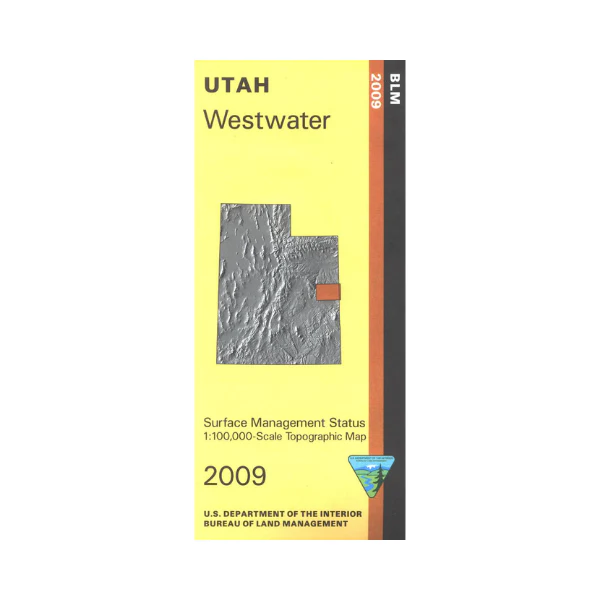
Map: Westwater UT - UT145S
A great map to have if you are interested in mountain biking or motorized dirt biking. Numerous opportunities for both are found on BLM land south of Book Cliffs near Westwater, and are marked on the map. Map includes Book Cliffs, several wilderness study areas west to Desolation Canyon, and a large section of state land bordering the east side of the Uintah and Ouray Indian Reservation. Official Bureau of Land Management metric topographic map @1:100,000 scale (roughly 3/4"`1 mile), color-coded to show Surface Management/ownership i.e. agency vs. private or tribal. Map shows roads, OHV(dirt bikes) trails, points of interest, and township and range lines. Use this map to hunt in the Book Cliffs and La Sal units. 2009
Original: $8.99
-65%$8.99
$3.15More Images
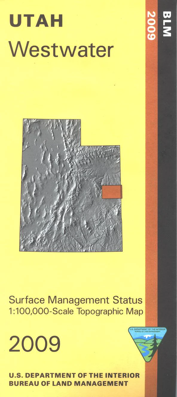
Map: Westwater UT - UT145S
A great map to have if you are interested in mountain biking or motorized dirt biking. Numerous opportunities for both are found on BLM land south of Book Cliffs near Westwater, and are marked on the map. Map includes Book Cliffs, several wilderness study areas west to Desolation Canyon, and a large section of state land bordering the east side of the Uintah and Ouray Indian Reservation. Official Bureau of Land Management metric topographic map @1:100,000 scale (roughly 3/4"`1 mile), color-coded to show Surface Management/ownership i.e. agency vs. private or tribal. Map shows roads, OHV(dirt bikes) trails, points of interest, and township and range lines. Use this map to hunt in the Book Cliffs and La Sal units. 2009
Product Information
Product Information
Shipping & Returns
Shipping & Returns
Description
A great map to have if you are interested in mountain biking or motorized dirt biking. Numerous opportunities for both are found on BLM land south of Book Cliffs near Westwater, and are marked on the map. Map includes Book Cliffs, several wilderness study areas west to Desolation Canyon, and a large section of state land bordering the east side of the Uintah and Ouray Indian Reservation. Official Bureau of Land Management metric topographic map @1:100,000 scale (roughly 3/4"`1 mile), color-coded to show Surface Management/ownership i.e. agency vs. private or tribal. Map shows roads, OHV(dirt bikes) trails, points of interest, and township and range lines. Use this map to hunt in the Book Cliffs and La Sal units. 2009


