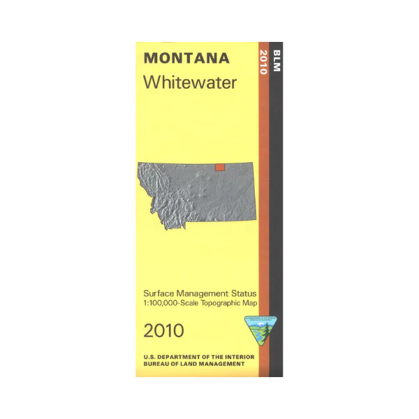
Map: Whitewater MT (MINERAL) - MT1201SM
Explore the BLM lands surrounding Whitewater. Travel south of Whitewater to visit Hewitt Lake National Wildlife Refuge for boating and wildlife viewing, or Nelson Reservoir for camping, boating, and fishing. Camping and fishing is available at Cole Ponds. Official Bureau of Land Management metric topographic map @1:100,000 scale (roughly 3/4"`1 mile), color-coded to show surface
management, i.e. agency vs. private or tribal ownership. Map shows color coded public and private ownership, roads, water features, recreation sites, points of interest, and the township
and range lines. use this map for OHV use, and hunting Deer, Elk, and Mountain Lion in Units 611 and 670. 2010
This is a mineral management map, with an additional layer showing below-surface mineral rights.
Original: $8.99
-65%$8.99
$3.15More Images
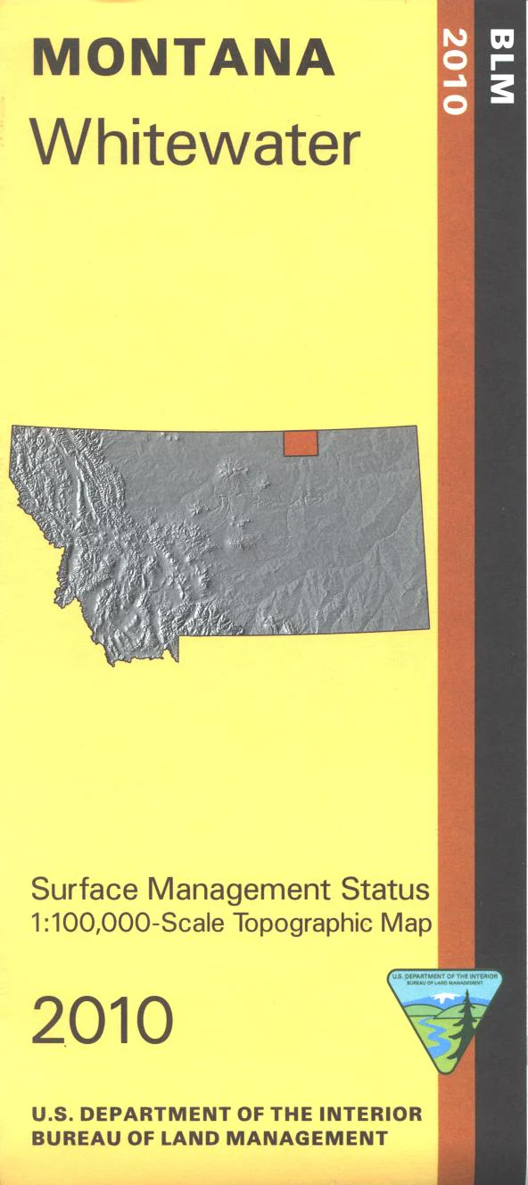
Map: Whitewater MT (MINERAL) - MT1201SM
Explore the BLM lands surrounding Whitewater. Travel south of Whitewater to visit Hewitt Lake National Wildlife Refuge for boating and wildlife viewing, or Nelson Reservoir for camping, boating, and fishing. Camping and fishing is available at Cole Ponds. Official Bureau of Land Management metric topographic map @1:100,000 scale (roughly 3/4"`1 mile), color-coded to show surface
management, i.e. agency vs. private or tribal ownership. Map shows color coded public and private ownership, roads, water features, recreation sites, points of interest, and the township
and range lines. use this map for OHV use, and hunting Deer, Elk, and Mountain Lion in Units 611 and 670. 2010
This is a mineral management map, with an additional layer showing below-surface mineral rights.
Product Information
Product Information
Shipping & Returns
Shipping & Returns
Description
Explore the BLM lands surrounding Whitewater. Travel south of Whitewater to visit Hewitt Lake National Wildlife Refuge for boating and wildlife viewing, or Nelson Reservoir for camping, boating, and fishing. Camping and fishing is available at Cole Ponds. Official Bureau of Land Management metric topographic map @1:100,000 scale (roughly 3/4"`1 mile), color-coded to show surface
management, i.e. agency vs. private or tribal ownership. Map shows color coded public and private ownership, roads, water features, recreation sites, points of interest, and the township
and range lines. use this map for OHV use, and hunting Deer, Elk, and Mountain Lion in Units 611 and 670. 2010
This is a mineral management map, with an additional layer showing below-surface mineral rights.


