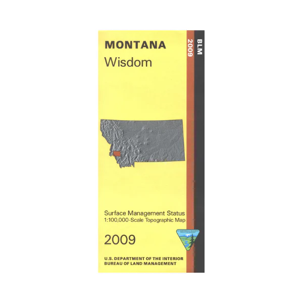
Map: Wisdom MT - MT1206S
From Wisdom travel east, north, or west to visit Beaverhead Deerlodge National Forest, or travel northwest to visit a section of Bitterroot National Forest. Scenic driving on Pioneer Mountains Scenic Byway, or Salmon River Scenic Byway. Hiking on the marked Continental Divide National Scenic Trail, Pioneer Loop National Recreation Trail, or May Creek Recreation Trail. Explore the forest roads leading to campgrounds, trailheads, river fishing sites, and scenic views. Official Bureau of Land Management metric topographic map at 1:100,000 scale (roughly 3/4"`1 mile), color-coded to show Surface Management ownership ie agency vs private or tribal ownership. Map shows color coded public and private ownership, roads, water features, recreation sites, points of interest, and the township and range lines. Use for OHV use, and Hunting Deer and Elk in Montana Units 211, 270, 319, 321, and 332; and for hunting Moose in Montana Units 211, 270, 302, 319, 323, 324, 325, 326, and 327. Also useful for ID Hunting Unit 21A. 2009.
More Images
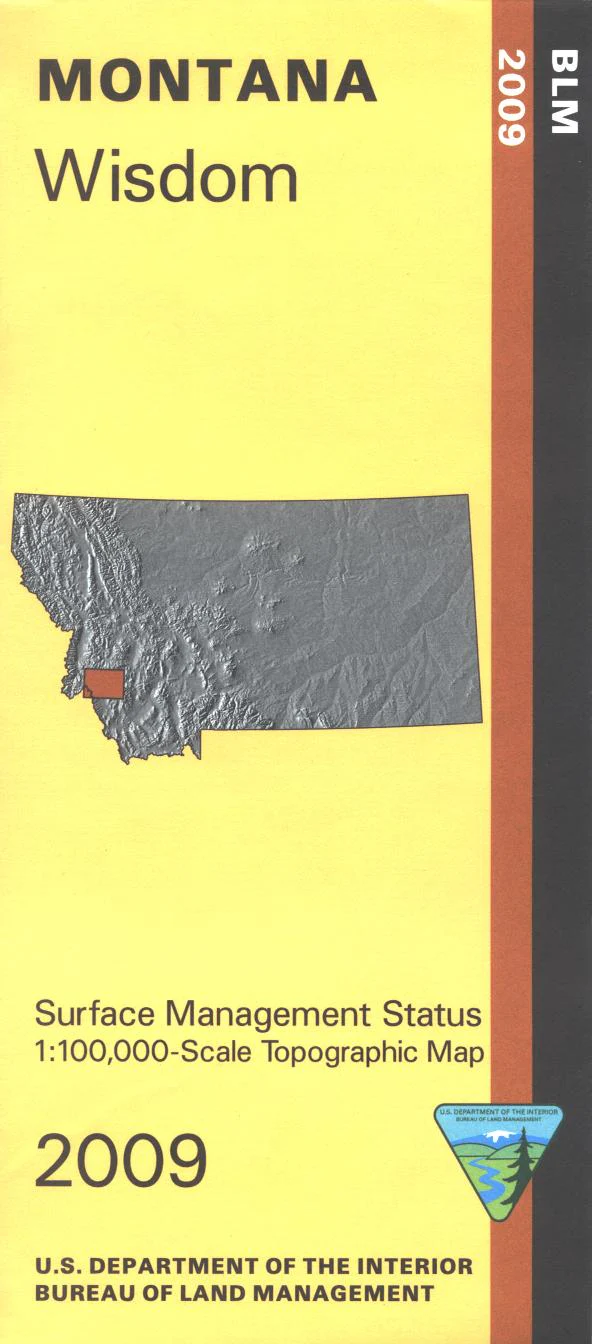
Map: Wisdom MT - MT1206S
From Wisdom travel east, north, or west to visit Beaverhead Deerlodge National Forest, or travel northwest to visit a section of Bitterroot National Forest. Scenic driving on Pioneer Mountains Scenic Byway, or Salmon River Scenic Byway. Hiking on the marked Continental Divide National Scenic Trail, Pioneer Loop National Recreation Trail, or May Creek Recreation Trail. Explore the forest roads leading to campgrounds, trailheads, river fishing sites, and scenic views. Official Bureau of Land Management metric topographic map at 1:100,000 scale (roughly 3/4"`1 mile), color-coded to show Surface Management ownership ie agency vs private or tribal ownership. Map shows color coded public and private ownership, roads, water features, recreation sites, points of interest, and the township and range lines. Use for OHV use, and Hunting Deer and Elk in Montana Units 211, 270, 319, 321, and 332; and for hunting Moose in Montana Units 211, 270, 302, 319, 323, 324, 325, 326, and 327. Also useful for ID Hunting Unit 21A. 2009.
Product Information
Product Information
Shipping & Returns
Shipping & Returns
Description
From Wisdom travel east, north, or west to visit Beaverhead Deerlodge National Forest, or travel northwest to visit a section of Bitterroot National Forest. Scenic driving on Pioneer Mountains Scenic Byway, or Salmon River Scenic Byway. Hiking on the marked Continental Divide National Scenic Trail, Pioneer Loop National Recreation Trail, or May Creek Recreation Trail. Explore the forest roads leading to campgrounds, trailheads, river fishing sites, and scenic views. Official Bureau of Land Management metric topographic map at 1:100,000 scale (roughly 3/4"`1 mile), color-coded to show Surface Management ownership ie agency vs private or tribal ownership. Map shows color coded public and private ownership, roads, water features, recreation sites, points of interest, and the township and range lines. Use for OHV use, and Hunting Deer and Elk in Montana Units 211, 270, 319, 321, and 332; and for hunting Moose in Montana Units 211, 270, 302, 319, 323, 324, 325, 326, and 327. Also useful for ID Hunting Unit 21A. 2009.


