✨ New Arrivals Just Dropped!Explore
Map: Yellowstone River Floater`s Guide: Park City/Pompeys Pillar
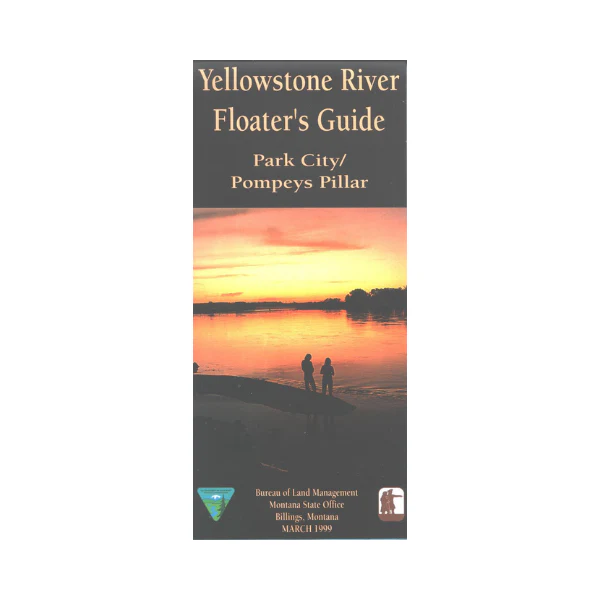
The Yellowstone is the longest (678 miles) free flowing river in the lower 48 states. This mile-by-mile guide covers approximately 80 miles from the Buffalo Mirage fishing access near Park City, to the Captain Clark fishing access east of Pompeys Pillar. Topographic and land ownership information, some Lewis and Clark historical information, river access sites, and hazards. Printed on tear-proof synthetic paper, 1999
$11.99
Map: Yellowstone River Floater`s Guide: Park City/Pompeys Pillar—
$11.99
More Images
Map: Yellowstone River Floater`s Guide: Park City/Pompeys Pillar
The Yellowstone is the longest (678 miles) free flowing river in the lower 48 states. This mile-by-mile guide covers approximately 80 miles from the Buffalo Mirage fishing access near Park City, to the Captain Clark fishing access east of Pompeys Pillar. Topographic and land ownership information, some Lewis and Clark historical information, river access sites, and hazards. Printed on tear-proof synthetic paper, 1999
Product Information
Product Information
Shipping & Returns
Shipping & Returns
Description
The Yellowstone is the longest (678 miles) free flowing river in the lower 48 states. This mile-by-mile guide covers approximately 80 miles from the Buffalo Mirage fishing access near Park City, to the Captain Clark fishing access east of Pompeys Pillar. Topographic and land ownership information, some Lewis and Clark historical information, river access sites, and hazards. Printed on tear-proof synthetic paper, 1999


