✨ New Arrivals Just Dropped!Explore
Map: Yellowstone River Floater`s Guide: Far West/Bonfield
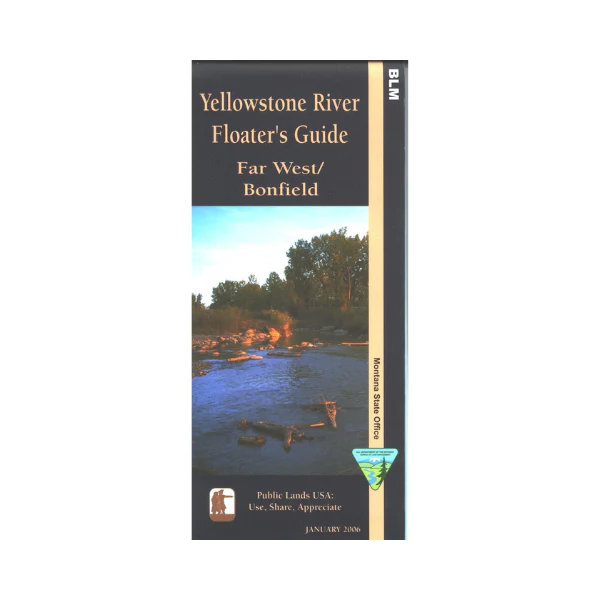
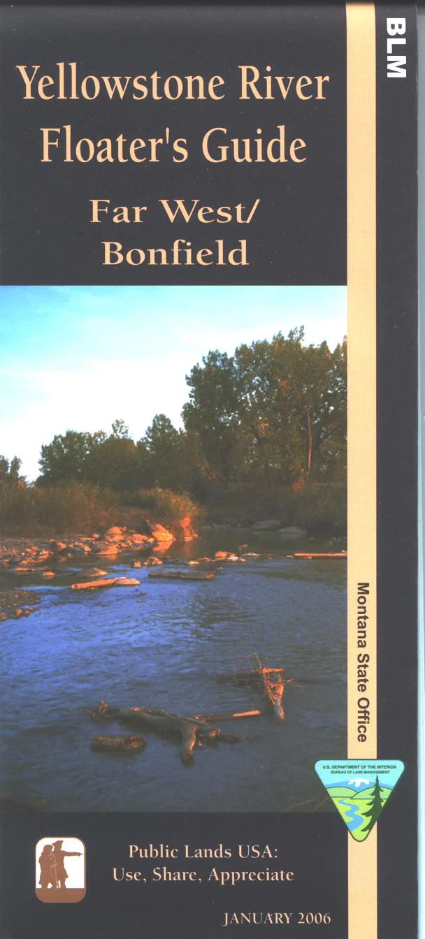
The Yellowstone is the longest (678 miles) free flowing river in the lower 48 states. This mile-by-mile guide covers approximately 75 miles from seven miles above the Far West Fishing Access (mile 321) to five below the Bonfield Fishing Access (mile 396). Map includes topographic and land ownership information, some Lewis and Clark historical information, river access sites, and hazards. Printed on tear-proof synthetic paper, 2003
$11.99
Map: Yellowstone River Floater`s Guide: Far West/Bonfield—
$11.99
More Images
Map: Yellowstone River Floater`s Guide: Far West/Bonfield
The Yellowstone is the longest (678 miles) free flowing river in the lower 48 states. This mile-by-mile guide covers approximately 75 miles from seven miles above the Far West Fishing Access (mile 321) to five below the Bonfield Fishing Access (mile 396). Map includes topographic and land ownership information, some Lewis and Clark historical information, river access sites, and hazards. Printed on tear-proof synthetic paper, 2003
Product Information
Product Information
Shipping & Returns
Shipping & Returns
Description
The Yellowstone is the longest (678 miles) free flowing river in the lower 48 states. This mile-by-mile guide covers approximately 75 miles from seven miles above the Far West Fishing Access (mile 321) to five below the Bonfield Fishing Access (mile 396). Map includes topographic and land ownership information, some Lewis and Clark historical information, river access sites, and hazards. Printed on tear-proof synthetic paper, 2003


