Map: Middle Fork of the Salmon: A Wild and Scenic River ID
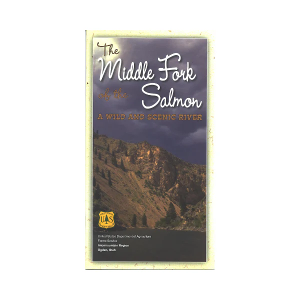
103 miles of wild river for whitewater boating, kayaking, rafting, but also for hunting, fishing and camping. Includes hair-raising class IV rapids, is only the tip of the iceberg in describing the Middle Fork of the Salmon River. This book details the ins and outs of running the river in maps and a mile by mile guide. The appendix rounds out the river experience with a history of the area, a guide to common and threatened species, safety tips, backcountry ethics, and specific regulations. 29 pages. Includes pages of maps with camps, trails, points of interest, boat ramps, and rapids marked. Printed on tear-proof, waterproof paper.
More Images
Map: Middle Fork of the Salmon: A Wild and Scenic River ID
103 miles of wild river for whitewater boating, kayaking, rafting, but also for hunting, fishing and camping. Includes hair-raising class IV rapids, is only the tip of the iceberg in describing the Middle Fork of the Salmon River. This book details the ins and outs of running the river in maps and a mile by mile guide. The appendix rounds out the river experience with a history of the area, a guide to common and threatened species, safety tips, backcountry ethics, and specific regulations. 29 pages. Includes pages of maps with camps, trails, points of interest, boat ramps, and rapids marked. Printed on tear-proof, waterproof paper.
Product Information
Product Information
Shipping & Returns
Shipping & Returns
Description
103 miles of wild river for whitewater boating, kayaking, rafting, but also for hunting, fishing and camping. Includes hair-raising class IV rapids, is only the tip of the iceberg in describing the Middle Fork of the Salmon River. This book details the ins and outs of running the river in maps and a mile by mile guide. The appendix rounds out the river experience with a history of the area, a guide to common and threatened species, safety tips, backcountry ethics, and specific regulations. 29 pages. Includes pages of maps with camps, trails, points of interest, boat ramps, and rapids marked. Printed on tear-proof, waterproof paper.


