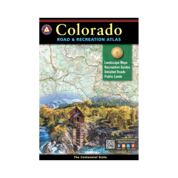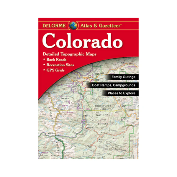
Atlas: Colorado Atlas & Gazetteer
GPS-compatible topographic maps for the entire state offer detail on backroads, recreation/camping areas, points of interest, and many hiking trails. This is great to have when vacationing or traveling in Colorado. New edition offers larger scale for urban areas along the Front Range. Scale varies from 1:160,000 (1�= 2.5 miles) to 1:320,000 (1�= 5 miles). 2019
More Images
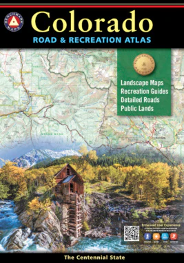
Atlas: Colorado Atlas & Gazetteer
GPS-compatible topographic maps for the entire state offer detail on backroads, recreation/camping areas, points of interest, and many hiking trails. This is great to have when vacationing or traveling in Colorado. New edition offers larger scale for urban areas along the Front Range. Scale varies from 1:160,000 (1�= 2.5 miles) to 1:320,000 (1�= 5 miles). 2019
Product Information
Product Information
Shipping & Returns
Shipping & Returns
Description
GPS-compatible topographic maps for the entire state offer detail on backroads, recreation/camping areas, points of interest, and many hiking trails. This is great to have when vacationing or traveling in Colorado. New edition offers larger scale for urban areas along the Front Range. Scale varies from 1:160,000 (1�= 2.5 miles) to 1:320,000 (1�= 5 miles). 2019