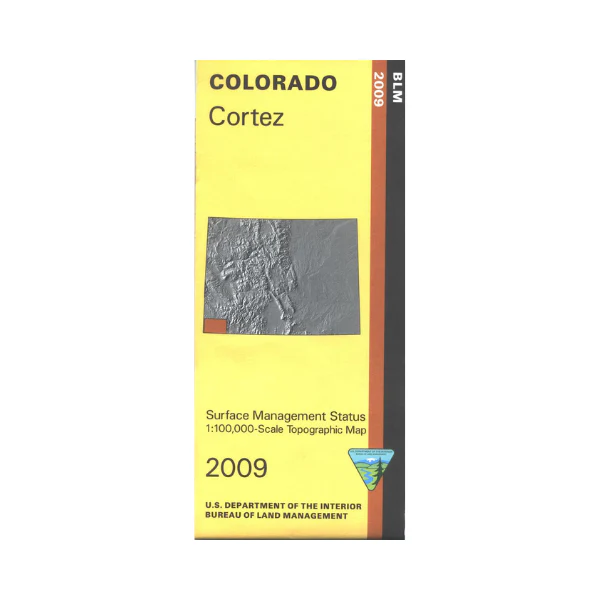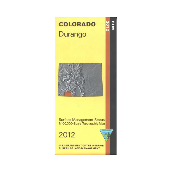
Map: Durango CO - CO121S
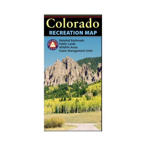
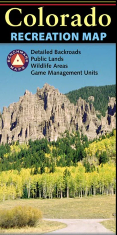
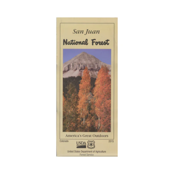
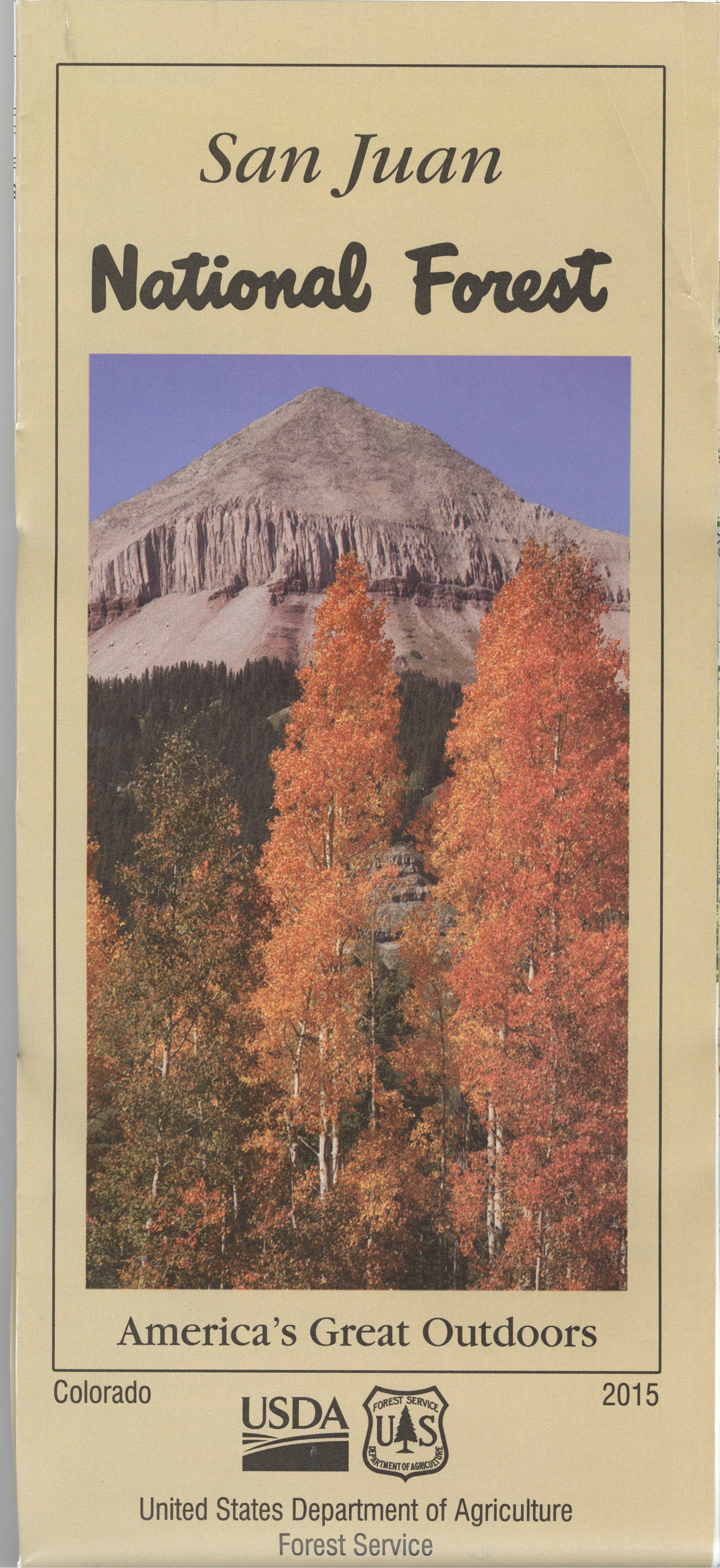
The BLM quadrant maps are scaled at 1:100,000, and cover an area of about 30 x 50 miles. Enjoy extensive recreational opportunities in the San Juan National Forest and Weminuche Wilderness. Plan a scenic trip on the Durango & Silverton Narrow Gauge Railroad. Late spring and summer are excellent times to raft, kayak, and canoe on the Las Animas River. Scenic driving or biking on Hwy 550 through the mountains. Enjoy camping, hiking, horseback riding, fishing, canoeing, and picnicking in the San Juan Mountains. Map is useful for OHV/4WD use, and Colorado Hunting Units 74,75,77,78,741,751, and 771. Differentiates between public and private land, and also among the various agencies who manage the public lands. 2012
Original: $8.99
-65%$8.99
$3.15More Images
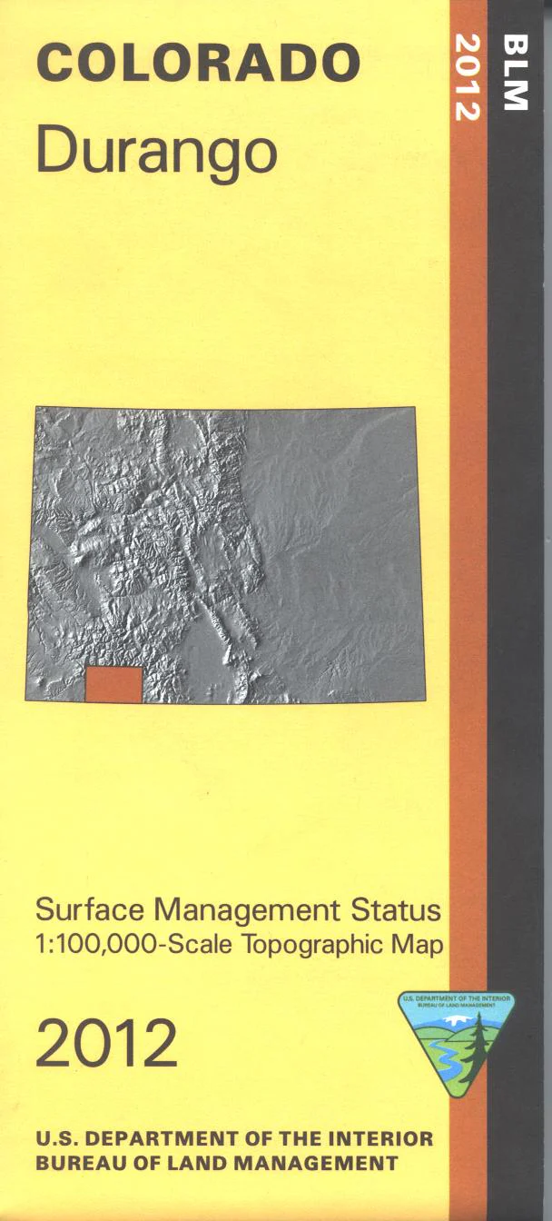
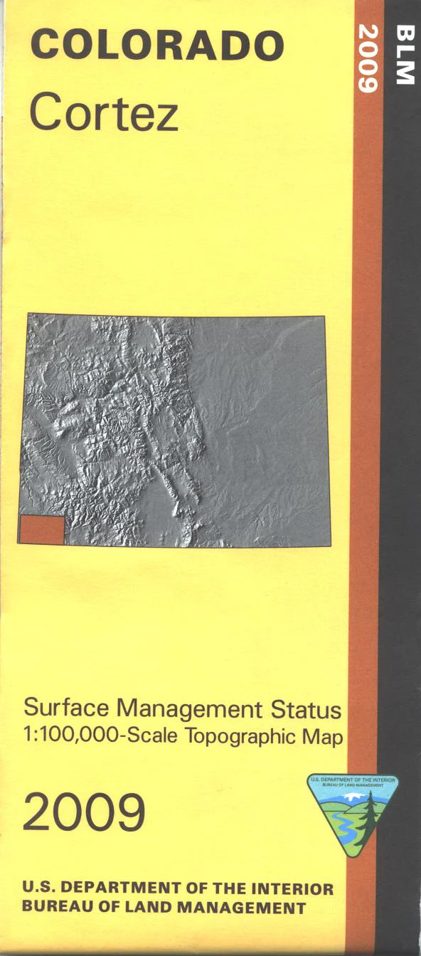
Map: Durango CO - CO121S
The BLM quadrant maps are scaled at 1:100,000, and cover an area of about 30 x 50 miles. Enjoy extensive recreational opportunities in the San Juan National Forest and Weminuche Wilderness. Plan a scenic trip on the Durango & Silverton Narrow Gauge Railroad. Late spring and summer are excellent times to raft, kayak, and canoe on the Las Animas River. Scenic driving or biking on Hwy 550 through the mountains. Enjoy camping, hiking, horseback riding, fishing, canoeing, and picnicking in the San Juan Mountains. Map is useful for OHV/4WD use, and Colorado Hunting Units 74,75,77,78,741,751, and 771. Differentiates between public and private land, and also among the various agencies who manage the public lands. 2012
Product Information
Product Information
Shipping & Returns
Shipping & Returns
Description
The BLM quadrant maps are scaled at 1:100,000, and cover an area of about 30 x 50 miles. Enjoy extensive recreational opportunities in the San Juan National Forest and Weminuche Wilderness. Plan a scenic trip on the Durango & Silverton Narrow Gauge Railroad. Late spring and summer are excellent times to raft, kayak, and canoe on the Las Animas River. Scenic driving or biking on Hwy 550 through the mountains. Enjoy camping, hiking, horseback riding, fishing, canoeing, and picnicking in the San Juan Mountains. Map is useful for OHV/4WD use, and Colorado Hunting Units 74,75,77,78,741,751, and 771. Differentiates between public and private land, and also among the various agencies who manage the public lands. 2012