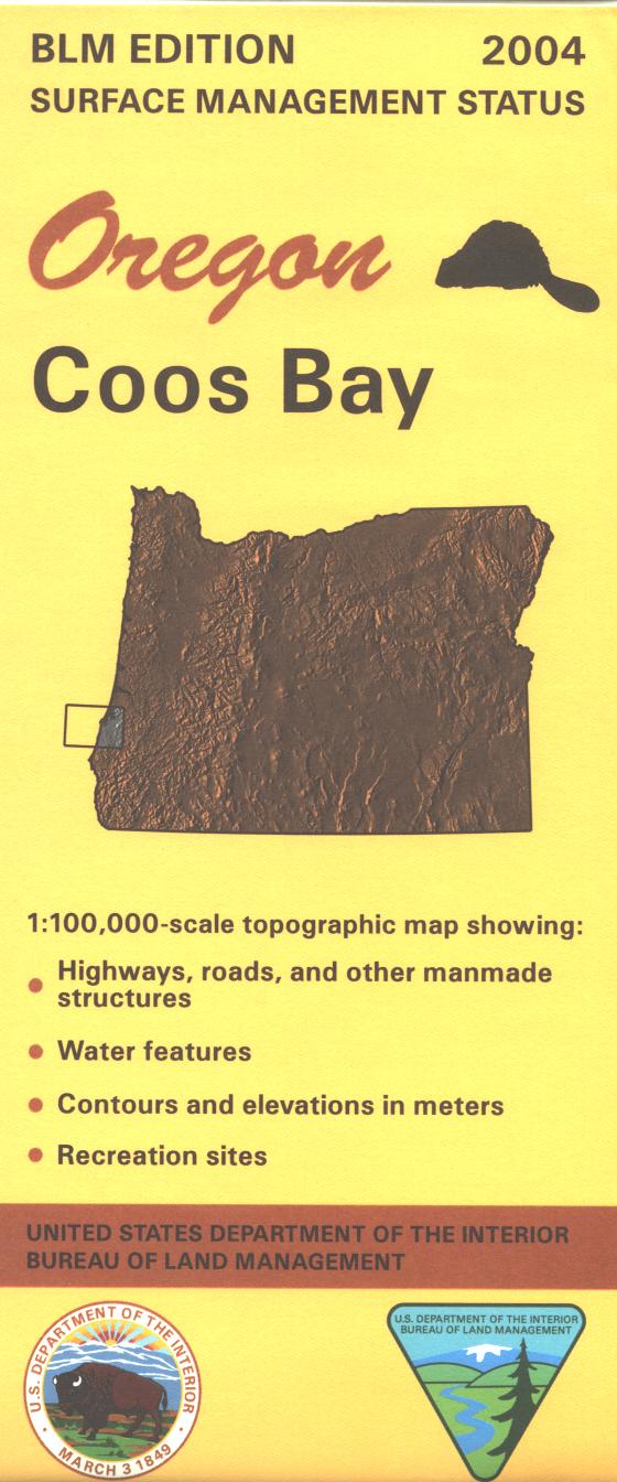
Map: Coos Bay OR - OR013S
Map shows Hwy 101 and the coastline from Hauser close to Siuslaw National Forest/Oregon Dunes National Recreation Area south to Coos Bay, and then south to Bandon State Natural Area. Opportunities for camping, hiking, fishing, or boating at Sunset Bay and Bullards Beach State Parks, scenic driving along the coast, and wildlife viewing. Designated OHV areas and trails in Oregon Dunes NRA. Official Bureau of Land Management metric topographic map
@1:100,000 scale (roughly 3/4" = 1 mile), color-coded to show surface
management, i.e. agency vs. private or tribal ownership. This map shows roads, water features, recreation sites, points of interest, and the township
and range lines. 2004.
More Images
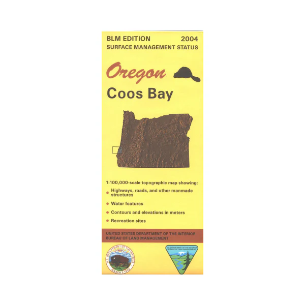
Map: Coos Bay OR - OR013S
Map shows Hwy 101 and the coastline from Hauser close to Siuslaw National Forest/Oregon Dunes National Recreation Area south to Coos Bay, and then south to Bandon State Natural Area. Opportunities for camping, hiking, fishing, or boating at Sunset Bay and Bullards Beach State Parks, scenic driving along the coast, and wildlife viewing. Designated OHV areas and trails in Oregon Dunes NRA. Official Bureau of Land Management metric topographic map
@1:100,000 scale (roughly 3/4" = 1 mile), color-coded to show surface
management, i.e. agency vs. private or tribal ownership. This map shows roads, water features, recreation sites, points of interest, and the township
and range lines. 2004.
Product Information
Product Information
Shipping & Returns
Shipping & Returns
Description
Map shows Hwy 101 and the coastline from Hauser close to Siuslaw National Forest/Oregon Dunes National Recreation Area south to Coos Bay, and then south to Bandon State Natural Area. Opportunities for camping, hiking, fishing, or boating at Sunset Bay and Bullards Beach State Parks, scenic driving along the coast, and wildlife viewing. Designated OHV areas and trails in Oregon Dunes NRA. Official Bureau of Land Management metric topographic map
@1:100,000 scale (roughly 3/4" = 1 mile), color-coded to show surface
management, i.e. agency vs. private or tribal ownership. This map shows roads, water features, recreation sites, points of interest, and the township
and range lines. 2004.