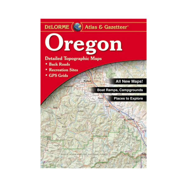
Atlas: Oregon Atlas & Gazetteer
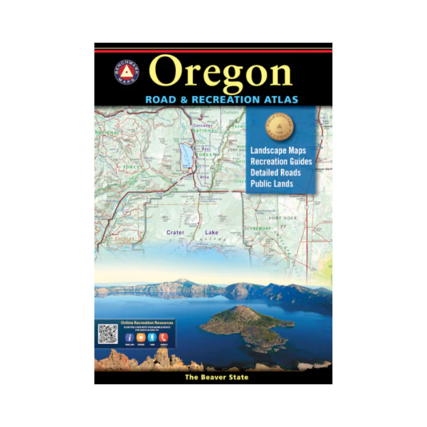
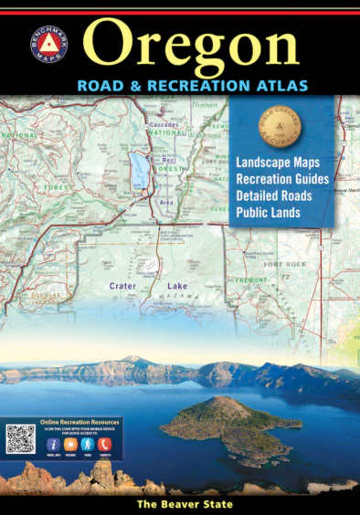
This atlas is a great reference to have for Oregon residents or for visitors traveling in the state. Whether you are on the coast, camping in a national forest, or scenic driving by Hells Canyon, there is information for you. Atlas gives suggestions and information for family outings, unique natural features, numerous fishing sites, outdoor adventures, and lists of recreation areas. GPS-compatible topographic maps for the entire state offer detail on backroads, recreation areas, and many hiking trails. Western Oregon is covered with higher details, including the Cascades and the Coast Range. Scale varies from 1:150,000 (1"=2.4 miles) to 1:300,000 (1"=4.8 miles). 2017
More Images
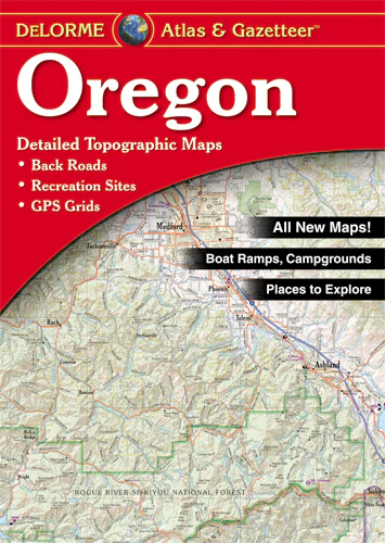
Atlas: Oregon Atlas & Gazetteer
This atlas is a great reference to have for Oregon residents or for visitors traveling in the state. Whether you are on the coast, camping in a national forest, or scenic driving by Hells Canyon, there is information for you. Atlas gives suggestions and information for family outings, unique natural features, numerous fishing sites, outdoor adventures, and lists of recreation areas. GPS-compatible topographic maps for the entire state offer detail on backroads, recreation areas, and many hiking trails. Western Oregon is covered with higher details, including the Cascades and the Coast Range. Scale varies from 1:150,000 (1"=2.4 miles) to 1:300,000 (1"=4.8 miles). 2017
Product Information
Product Information
Shipping & Returns
Shipping & Returns
Description
This atlas is a great reference to have for Oregon residents or for visitors traveling in the state. Whether you are on the coast, camping in a national forest, or scenic driving by Hells Canyon, there is information for you. Atlas gives suggestions and information for family outings, unique natural features, numerous fishing sites, outdoor adventures, and lists of recreation areas. GPS-compatible topographic maps for the entire state offer detail on backroads, recreation areas, and many hiking trails. Western Oregon is covered with higher details, including the Cascades and the Coast Range. Scale varies from 1:150,000 (1"=2.4 miles) to 1:300,000 (1"=4.8 miles). 2017