Map: Crater Lake OR - OR016S
Map shows most of Crater Lake National Park with Umpqua National Forest to the west, and Rogue River National Forest to the west and south. Also includes Sky Lakes Wilderness with the trails and forest access roads. From Prospect travel southwest to Lost Creek Lake for camping, fishing, and boating. Enjoy camping, fishing, and hiking along the Rogue River, and in Umpqua NF. Be sure to visit Crater Lake with scenic driving around the lake, hiking the rim trails, stopping at the visitor center, and camping at the campground. Official Bureau of Land Management metric topographic map
@1:100,000 scale (roughly 3/4" = 1 mile), color-coded to show surface
management, i.e. agency vs. private or tribal ownership. This map shows roads, water features, recreation sites, points of interest, and the township
and range lines. Map is useful for OR Hunting Units 22, 29, and 30. 2004
Original: $8.99
-65%$8.99
$3.15More Images
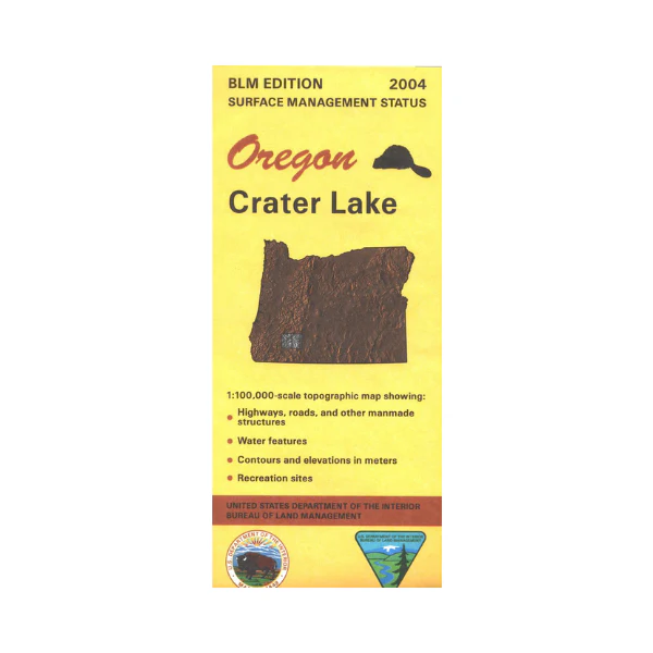
Map: Crater Lake OR - OR016S
Map shows most of Crater Lake National Park with Umpqua National Forest to the west, and Rogue River National Forest to the west and south. Also includes Sky Lakes Wilderness with the trails and forest access roads. From Prospect travel southwest to Lost Creek Lake for camping, fishing, and boating. Enjoy camping, fishing, and hiking along the Rogue River, and in Umpqua NF. Be sure to visit Crater Lake with scenic driving around the lake, hiking the rim trails, stopping at the visitor center, and camping at the campground. Official Bureau of Land Management metric topographic map
@1:100,000 scale (roughly 3/4" = 1 mile), color-coded to show surface
management, i.e. agency vs. private or tribal ownership. This map shows roads, water features, recreation sites, points of interest, and the township
and range lines. Map is useful for OR Hunting Units 22, 29, and 30. 2004
Product Information
Product Information
Shipping & Returns
Shipping & Returns
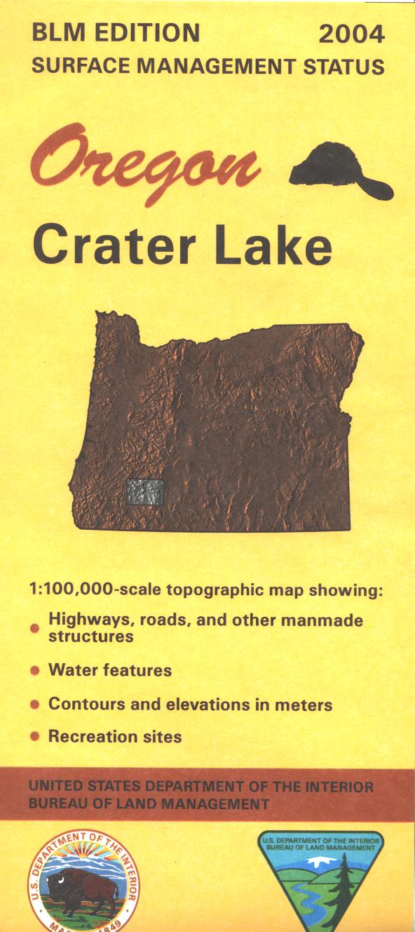
Description
Map shows most of Crater Lake National Park with Umpqua National Forest to the west, and Rogue River National Forest to the west and south. Also includes Sky Lakes Wilderness with the trails and forest access roads. From Prospect travel southwest to Lost Creek Lake for camping, fishing, and boating. Enjoy camping, fishing, and hiking along the Rogue River, and in Umpqua NF. Be sure to visit Crater Lake with scenic driving around the lake, hiking the rim trails, stopping at the visitor center, and camping at the campground. Official Bureau of Land Management metric topographic map
@1:100,000 scale (roughly 3/4" = 1 mile), color-coded to show surface
management, i.e. agency vs. private or tribal ownership. This map shows roads, water features, recreation sites, points of interest, and the township
and range lines. Map is useful for OR Hunting Units 22, 29, and 30. 2004