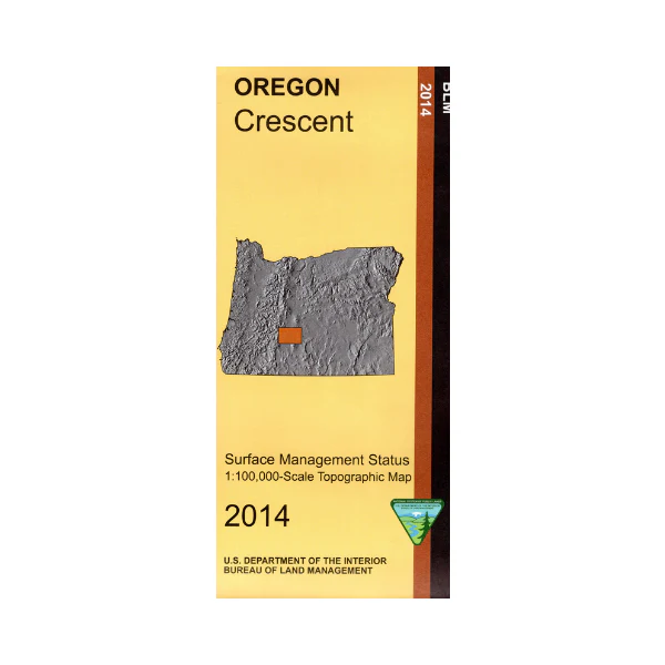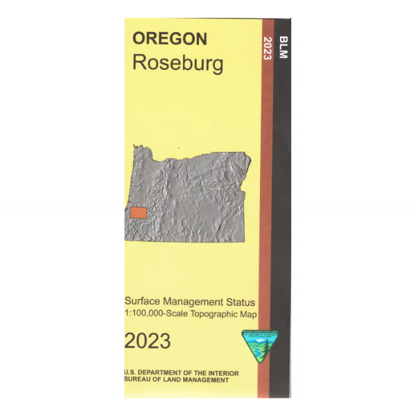
Map: Roseburg OR - OR052S
Map shows lands from Dora east past Roseburg to Idleyld Park, and from a few miles north of Oakland south to Myrtle Creek. From Roseburg travel east on Hwy 138 to Idleyld Park, a scenic drive along a section of the Umpqua River. Official Bureau of Land Management metric topographic map
@1:100,000 scale (roughly 3/4" = 1 mile), color-coded to show surface
management, i.e. agency vs. private or tribal ownership. This map shows roads, water features, points of interest, and the township and range lines. Map is useful for OR Hunting Units 21, 22, 23, and 24. 2023
Original: $8.99
-65%$8.99
$3.15Map: Roseburg OR - OR052S
Map shows lands from Dora east past Roseburg to Idleyld Park, and from a few miles north of Oakland south to Myrtle Creek. From Roseburg travel east on Hwy 138 to Idleyld Park, a scenic drive along a section of the Umpqua River. Official Bureau of Land Management metric topographic map
@1:100,000 scale (roughly 3/4" = 1 mile), color-coded to show surface
management, i.e. agency vs. private or tribal ownership. This map shows roads, water features, points of interest, and the township and range lines. Map is useful for OR Hunting Units 21, 22, 23, and 24. 2023
Product Information
Product Information
Shipping & Returns
Shipping & Returns
Description
Map shows lands from Dora east past Roseburg to Idleyld Park, and from a few miles north of Oakland south to Myrtle Creek. From Roseburg travel east on Hwy 138 to Idleyld Park, a scenic drive along a section of the Umpqua River. Official Bureau of Land Management metric topographic map
@1:100,000 scale (roughly 3/4" = 1 mile), color-coded to show surface
management, i.e. agency vs. private or tribal ownership. This map shows roads, water features, points of interest, and the township and range lines. Map is useful for OR Hunting Units 21, 22, 23, and 24. 2023