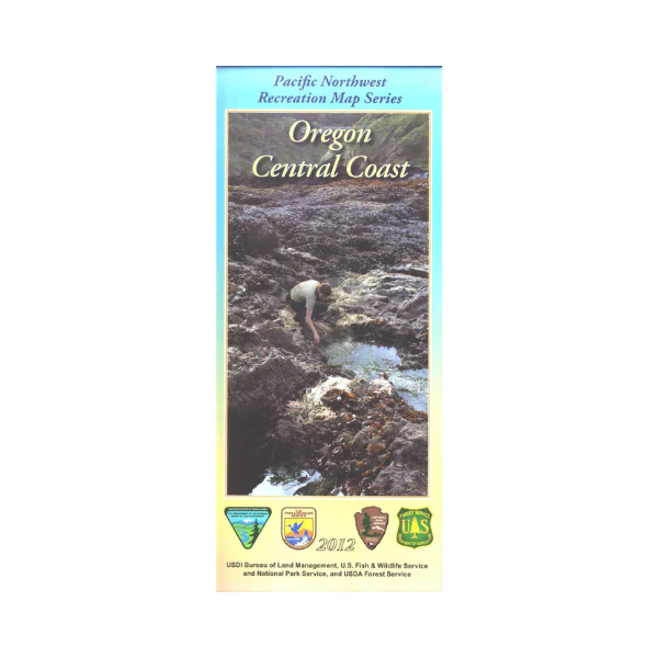
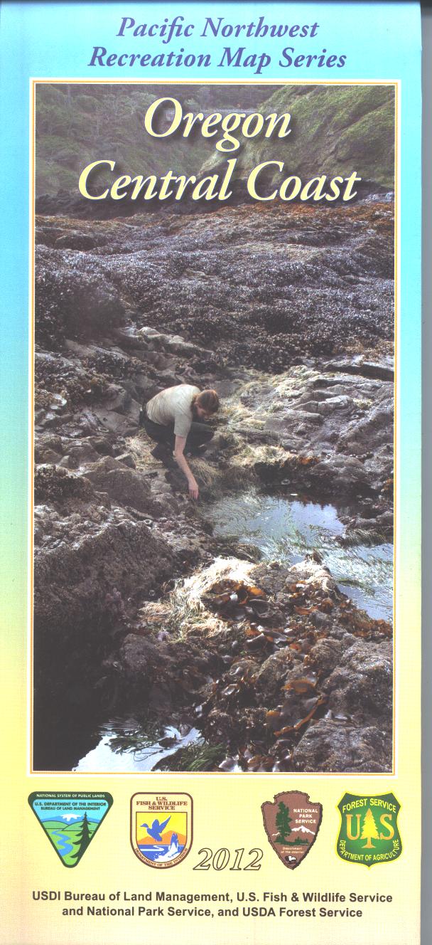
Map: Oregon Central Coast - PNWRMS - 2012
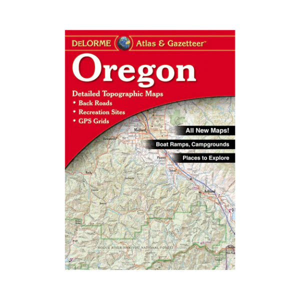
The public lands managed by the Oregon/Washington Bureau of Land Management (BLM) offer unlimited opportunities to recreate, rejuvenate, and reconnect. Whether you are interested in hiking through an ancient forest, bird watching, investigating intertidal life, taking-in spectacular views, or picnicking by a river – these lands have it all.
The BLM-Administered lands located in Oregon’s coastal region cover several ecosystems, ranging from marshlands and estuaries to dense Douglas fir, hemlock, and cedar forests – including hundreds of miles of spectacular rivers and streams. The broad variation found in these lands offers a perfect balance between the urban parks in the cities and higher elevation recreation opportunities in the adjacent Siuslaw National Forest. The climate is predominantly mild, with temperature and precipitation varying depending on elevation and distance from the coastline. The area typically experiences cool, dry summers followed by mild and wet winters. Annual precipitation varies from 60 up to 120 inches, at higher elevations. The further inland and more southerly portions experience a warmer climate that is more similar to that of the Willamette Valley.
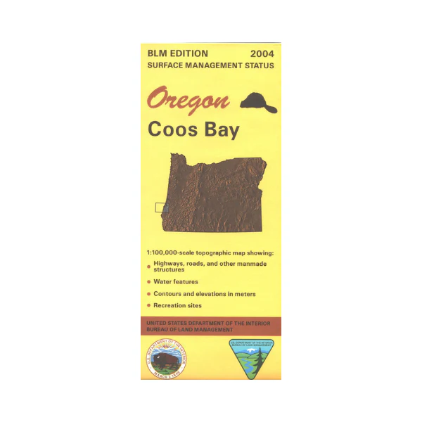
Covers the area of coastal Oregon from Oceanside south to Coos Bay. The map includes the Siuslaw National Forest and BLM lands, and coverage extends inland as far east as Salem and Eugene. Map is useful for OR Hunting Units 14, 17, 18, 20, and 24.
The Pacific Northwest Recreation Map Series is jointly created by the Bureau of Land Management and US Forest Service. They provide surface land status and key recreation features like roads, campgrounds, and day use areas on federal lands (including National Forests, National Parks, US Fish & Wildlife Service lands, and more)
2012, printed on water and tear-proof synthetic material. $19.99.
Original: $19.99
-65%$19.99
$7.00More Images
Map: Oregon Central Coast - PNWRMS - 2012
The public lands managed by the Oregon/Washington Bureau of Land Management (BLM) offer unlimited opportunities to recreate, rejuvenate, and reconnect. Whether you are interested in hiking through an ancient forest, bird watching, investigating intertidal life, taking-in spectacular views, or picnicking by a river – these lands have it all.
The BLM-Administered lands located in Oregon’s coastal region cover several ecosystems, ranging from marshlands and estuaries to dense Douglas fir, hemlock, and cedar forests – including hundreds of miles of spectacular rivers and streams. The broad variation found in these lands offers a perfect balance between the urban parks in the cities and higher elevation recreation opportunities in the adjacent Siuslaw National Forest. The climate is predominantly mild, with temperature and precipitation varying depending on elevation and distance from the coastline. The area typically experiences cool, dry summers followed by mild and wet winters. Annual precipitation varies from 60 up to 120 inches, at higher elevations. The further inland and more southerly portions experience a warmer climate that is more similar to that of the Willamette Valley.
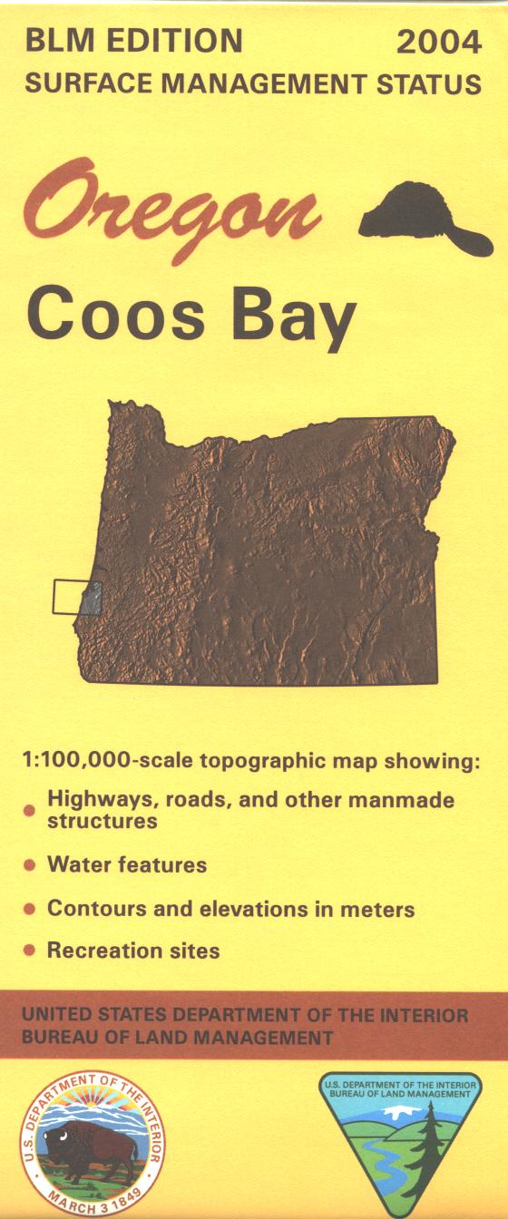
Covers the area of coastal Oregon from Oceanside south to Coos Bay. The map includes the Siuslaw National Forest and BLM lands, and coverage extends inland as far east as Salem and Eugene. Map is useful for OR Hunting Units 14, 17, 18, 20, and 24.
The Pacific Northwest Recreation Map Series is jointly created by the Bureau of Land Management and US Forest Service. They provide surface land status and key recreation features like roads, campgrounds, and day use areas on federal lands (including National Forests, National Parks, US Fish & Wildlife Service lands, and more)
2012, printed on water and tear-proof synthetic material. $19.99.
Product Information
Product Information
Shipping & Returns
Shipping & Returns
Description
The public lands managed by the Oregon/Washington Bureau of Land Management (BLM) offer unlimited opportunities to recreate, rejuvenate, and reconnect. Whether you are interested in hiking through an ancient forest, bird watching, investigating intertidal life, taking-in spectacular views, or picnicking by a river – these lands have it all.
The BLM-Administered lands located in Oregon’s coastal region cover several ecosystems, ranging from marshlands and estuaries to dense Douglas fir, hemlock, and cedar forests – including hundreds of miles of spectacular rivers and streams. The broad variation found in these lands offers a perfect balance between the urban parks in the cities and higher elevation recreation opportunities in the adjacent Siuslaw National Forest. The climate is predominantly mild, with temperature and precipitation varying depending on elevation and distance from the coastline. The area typically experiences cool, dry summers followed by mild and wet winters. Annual precipitation varies from 60 up to 120 inches, at higher elevations. The further inland and more southerly portions experience a warmer climate that is more similar to that of the Willamette Valley.
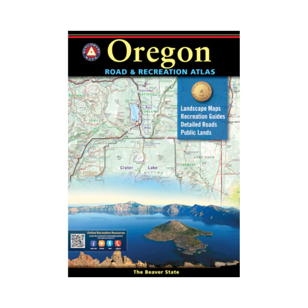
Covers the area of coastal Oregon from Oceanside south to Coos Bay. The map includes the Siuslaw National Forest and BLM lands, and coverage extends inland as far east as Salem and Eugene. Map is useful for OR Hunting Units 14, 17, 18, 20, and 24.
The Pacific Northwest Recreation Map Series is jointly created by the Bureau of Land Management and US Forest Service. They provide surface land status and key recreation features like roads, campgrounds, and day use areas on federal lands (including National Forests, National Parks, US Fish & Wildlife Service lands, and more)
2012, printed on water and tear-proof synthetic material. $19.99.