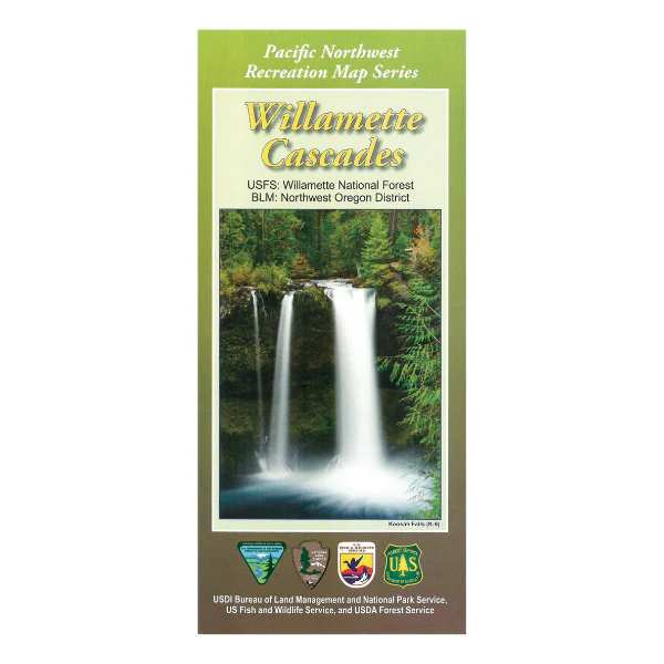
Map: Willamette Cascades OR - PNWRMS - 2017
Embellished with wooded slopes, sparkling rivers, cascading streams, coastal inlands and urban wetlands. These western Oregon ecosystems span a landscape stretching from the sandy shores of the Pacific Ocean, across the Coast Range and into the western flank of the Cascades. This is an enticing destination offering visitors opportunities for exploration, recreation, insight, and challenge
This map covers the Willamette National Forest, Eugene District East and Salem District Southeast. It covers the Mount Jefferson Wilderness, Mount Washington Wilderness, Diamond Peak Wilderness, Waldo Lake Wilderness, Three Sisters Wilderness, Oregon Cascades Recreation Area, Menagerie Wilderness and the Middle Santiam Wilderness.
The Pacific Northwest Recreation Map Series is jointly created by the Bureau of Land Management and US Forest Service. They provide surface land status and key recreation features like roads, campgrounds, and day use areas on federal lands (including National Forests, National Parks, US Fish & Wildlife Service lands, and more).
2019, printed on water and tear-proof synthetic material. $19.99.
This map is suitable for OR Hunt Units 16, 19, 20, 21, & 34.
Product Information
Product Information
Shipping & Returns
Shipping & Returns
Description
Embellished with wooded slopes, sparkling rivers, cascading streams, coastal inlands and urban wetlands. These western Oregon ecosystems span a landscape stretching from the sandy shores of the Pacific Ocean, across the Coast Range and into the western flank of the Cascades. This is an enticing destination offering visitors opportunities for exploration, recreation, insight, and challenge
This map covers the Willamette National Forest, Eugene District East and Salem District Southeast. It covers the Mount Jefferson Wilderness, Mount Washington Wilderness, Diamond Peak Wilderness, Waldo Lake Wilderness, Three Sisters Wilderness, Oregon Cascades Recreation Area, Menagerie Wilderness and the Middle Santiam Wilderness.
The Pacific Northwest Recreation Map Series is jointly created by the Bureau of Land Management and US Forest Service. They provide surface land status and key recreation features like roads, campgrounds, and day use areas on federal lands (including National Forests, National Parks, US Fish & Wildlife Service lands, and more).
2019, printed on water and tear-proof synthetic material. $19.99.
This map is suitable for OR Hunt Units 16, 19, 20, 21, & 34.